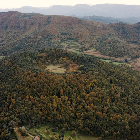
Puig de les Bruixes - Sant Aniol d'Aguja
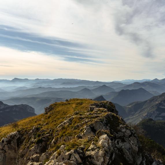
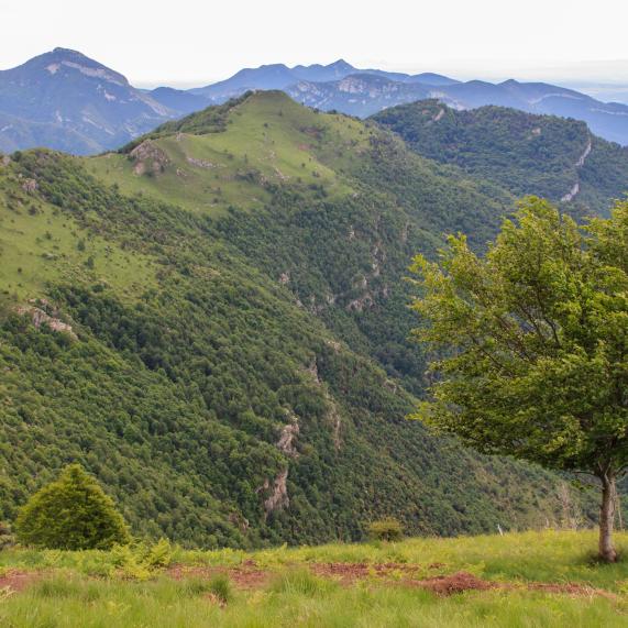
From the "Pont d'en Valentí" along the main track, we turn left and begin to climb towards Talaixà. We can take a short break and continue climbing towards the "Coll de la Balmeta", to reach the "Puig de Sant Marc" at 1,327 meters. We continue climbing and finally reach the "Puig de les Bruixes" at 1,393 meters. Now it's time to descend towards Sant Aniol de Aguja where we can see the waterfalls.
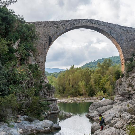
We descend following the "Riera de Sant Aniol" until we reach the starting point.
Distance traveled: 18.34 kilometers
Min altitude: 25 meters, max: 1,397 meters
Cumulative elevation gain: 1,269 meters, descending: 1,196 meters
Difficulty level: Moderate
Ends at the starting point (circular): No