MTB routes

MTB routes

Discover the BTT routes that we recommend from the Hotel Alta Garrotxa and that will allow you to get to know the fantastic territory of Alta Garrotxa. If you are a lover of touring the mountains at the stroke of a pedal... you cannot miss them!

In addition, apart from the detailed routes, we can provide you with other simpler ones and suitable for all audiences, for family walks around the town.

We also have at your disposal a closed garage to leave the bicycles with water service and karcher for cleaning.

Discover, below, all the routes that we propose and the unique environment that you will find when staying at the Hotel Alta Garrotxa.

Tortellà - Lliurona - Sadernes

Tortellà - Lliurona - Sadernes

A 100% cycle route through natural areas and with magnificent and authentic sites.

Distance traveled: 42.91 kilometers

Min altitude: 195 meters, max: 996 meters

Cumulative elevation gain: 1,367 meters, descending: 1,377 meters

Difficulty level: Moderate

Ends at the starting point (circular): Yes

See route

Tortellà - Mare De Déu Del Mont - Tortellà

Tortellà - Mare De Déu Del Mont - Tortellà

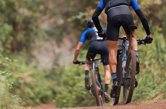
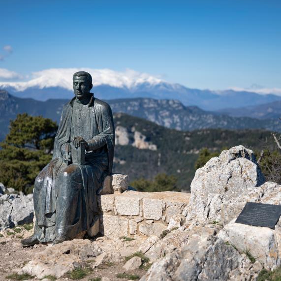
Depart from Tortellà. We'll pass by Castell de Sales and climb to Can Bosc. We follow the path and, when we're near "El Puigbalí," we leave the main track to turn right and continue toward "El Soler." We'll come close to "Bac de Falgars," and then climb to "La Mare de Déu del Mont" (1,123.9 meters).

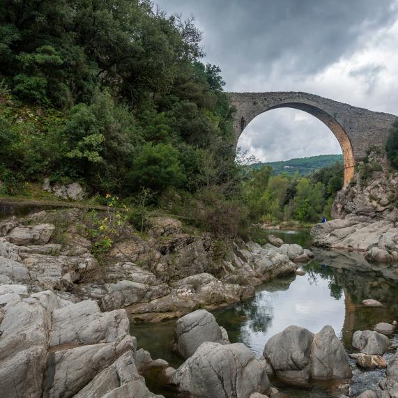
Now we will start to go down the road and near "El Noguer de Segueró" we turn right towards Segueró, we continue towards "Coll de Can Jou", Beuda, and passing through "Can Tries", we approach Sales de Llierca to end at the starting point, Tortellà.

Distance traveled: 54.26 kilometers

Min altitude: 220 meters, max: 1,128 meters

Cumulative elevation gain: 1,552 meters, descending: 1,535 meters

Difficulty level: Moderate

Ends at the starting point (circular): Yes

See route

Tortellà - Coll de Faja - Sadernes - Tortellà

Tortellà - Coll de Faja - Sadernes - Tortellà

A magnificent route with stunning scenery. It departs from Tortellà, heading towards Monteia and Orri, up to the Coll de Faja (the highest point of the route). It descends through Serradell, passing through Sant Andreu de Guitarriu and the Sadernes Bridge over the Llierca River, until reaching Tortellà.

Technical sheet:

Distance traveled: 30.95 km

Min altitude: 234 meters, max altitude: 1,020 meters

Accumulated unevenness climb: 1,141 meters,

Down: 1,129 meters

Difficulty level: Moderate

Ends at the starting point (circular): Yes

See route

Tortellà - L'Orri - Guitarriu - Montagut - Tortellà

Tortellà - L'Orri - Guitarriu - Montagut - Tortellà

A very pleasant route through Alta Garrotxa. You can appreciate the vastness of this area. Great views.

Departure Tortellà.- Arrival Tortellà.

Distance traveled: 33.46 kilometers

Min altitude: 203 meters, max altitude: 1,005 meters

Cumulative elevation gain: 891 metres

Going down: 857 meters

Difficulty level: Moderate

Ends at the starting point (circular): Yes

See route

You may also be interested

Hotel Alta Garrotxa: rural hotel near Besalú